
Reinventing Forest Management
Forests analysed
Analyzed hectares
Saved trees
Saved value M €
CO2 Saved (ton)
Forest Management
Digital, and always updated
Our state-of-the-art software, packaged in a user-friendly interface, allows you to manage your forests like never before. Whether you’re looking to optimize operations, improve cost performance, or make data-driven decisions, we have got you covered
Forest Inventory
Gain Full Visibility of Your Forests
Our Forest Inventory module offers a comprehensive overview of your forest. Monitor tree count, species, age, health and more with ease. Utilize this data to optimize operations and make informed decisions
Ecosystem Services
Leverage Nature’s Benefits
Our Ecosystem Services module helps you understand and quantify the value your forest provides to society. Promote sustainability and profitability through better understanding of your ecosystem’s contributions
Times faster data collection
%
More accurate inventory
Higher cost performance
%
Increased data quality
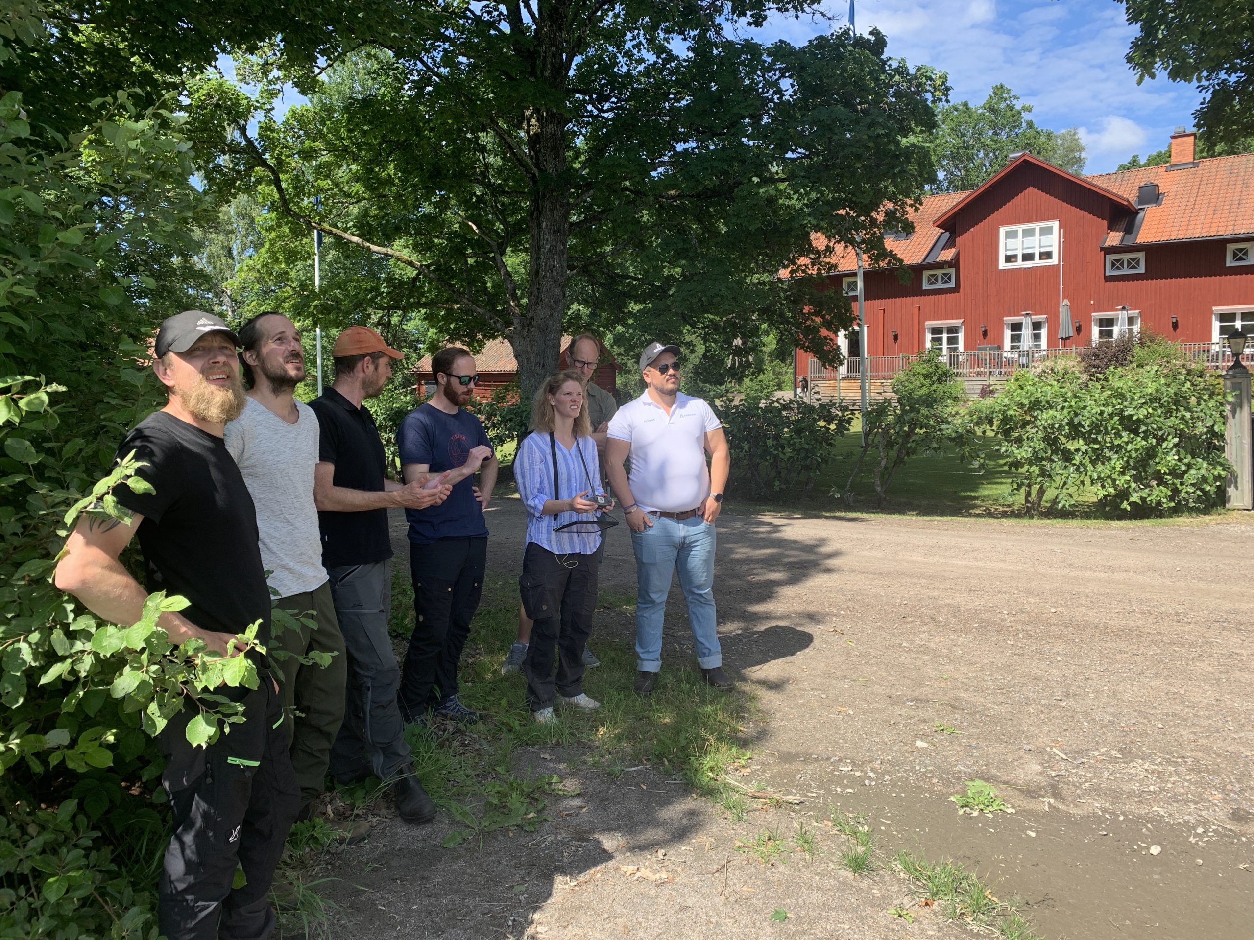
Build a Stronger Relationship with Your Forest Owners and Managing Your Forest Data Doesn´t have to be hard.
Revolutionizing Forest Management Through Advanced Tech & AI
Arboair is leading the transition towards digitized, sustainable, precision forestry with image analysis and data analytics.
At Arboair, we’re fusing technology with nature to create sustainable solutions for the forest industry. Our advanced software enables seamless, efficient forest management, equipping businesses with the tools they need to thrive.
We create conditions for sustainable forestry on a world-wide basis and thereby promoting profitable forest management and biological diversity for future generations.
We use the most advanced technology to achieve high precision, but we go to work to create the conditions for a long-term improvement of your forest management.
We are facing a very exciting journey where technology will be improved and the business will be scaled up. We believe that experimentation and failure are success factors in gaining new valuable insights. To get there, we need to value different abilities and help each other to develop and grow.


Product Features
Our state-of-the-art software, packaged in a user-friendly interface, allows you to manage your forests like never before. Whether you’re looking to optimize operations, improved cost performance, or make data-driven decisions, our platform has you covered.
Forest Analysis Software
The Arboway: Streamlined Forest Management
1. Data Collection: Scan your forest using Arboair Best Practice with drones.
2. Analysis: Utilize our platform for Forest Inventory, Management Plans, Health Monitoring, and Ecosystem Services analysis.
3. Decision: Manage your forest in the cloud, leveraging digital data to make efficient decisions.
4. Result: Achieve profitable and sustainable forestry, tailored to your needs and demands.
Create value of Forest Data
Forest owners lack detailed data, hindering profitable and sustainable forest management. High-quality digital decision-making data for the forest’s current state is crucial for optimizing practices.
Our product empowers forest managers with real-time forest data through advanced AI image analysis. With a simple button push, our user-friendly portal provides high-quality digital decision-making data, enabling profitable and sustainable forest management. Experience seamless AI-powered optimization for your forests like never before.

Web portal
Our user-friendly web portal provides a comprehensive interface for forest managers to access and analyze real-time data, make informed decisions, and efficiently manage their forests.

API integration
Seamlessly integrate our platform into your existing systems and workflows, allowing easy data exchange and access to our advanced forest management capabilities.

Mobile friendly
Stay connected on-the-go with our platform on your mobile devices, enabling forest managers to monitor and manage their forests from anywhere, anytime.
★★★★★
I act much faster and I share the result with the harvester with high precision
– Ulrika Sjökvist, Forest Owner
★★★★★
The analysis finds what I miss and I can show the results to my forest owners
– Axel Ekström, Skogstjänst
★★★★★
It is good, time saving and a quality improver for the whole forest Industry
– Axel Wretemark, Södra Skogsägarna
★★★★★
It makes our work easier and has a great potential for the industry now and in the future
– Christian Syk, Holmen
Partners